Awareness Training for Using Artificial Intelligence for Building and Road Damage Assessment from Drone Imagery
Emergency management and public safety professionals will soon have the opportunity to explore how to use AI for building and road damage assessment, from drone imagery. No prior experience or knowledge of AI is required for the no-cost, two-hour training!
September 19, 2025
1:00–3:00 pm Eastern
Register now!
Experts Tom Manzini, Stephen Johnson, and Robin Murphy will cover the practical skills needed to correctly interpret Texas A&M’s CLARKE Damage Assessment Software. Learn more about the training.
About the CLARKE System
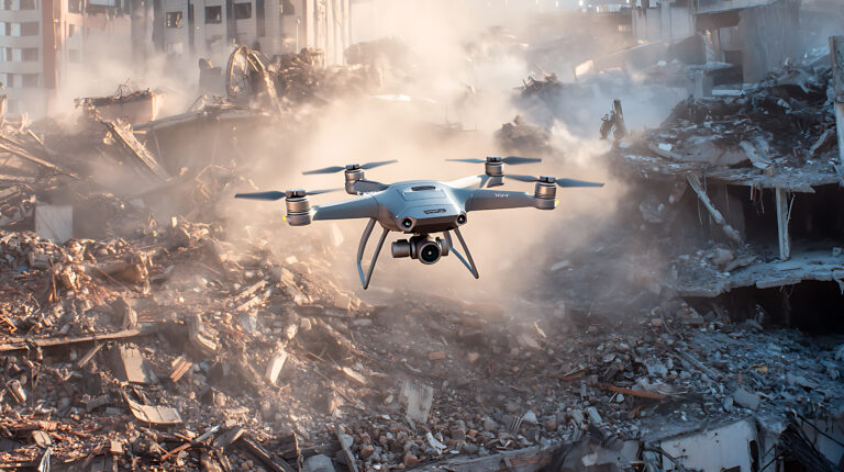
First used by FL UAS1 during Hurricanes Debby and Helene, the system uses computer vision and ML to classify visual damage, processing an orthomosaic image of 2,000 houses in roughly 7 minutes on a standard video gamer laptop. The road damage assessment option also comes with a Google Maps–like route planner that shows the best routes to bypass road damage and fastest routes through damage.